
Cluster planning for field programmes, starting with every water body
Graminq maps 8.5 lakh+ water bodies across 5 Indian states, groups them into field-ready clusters, orders the visits and tracks every survey from first assignment to done.
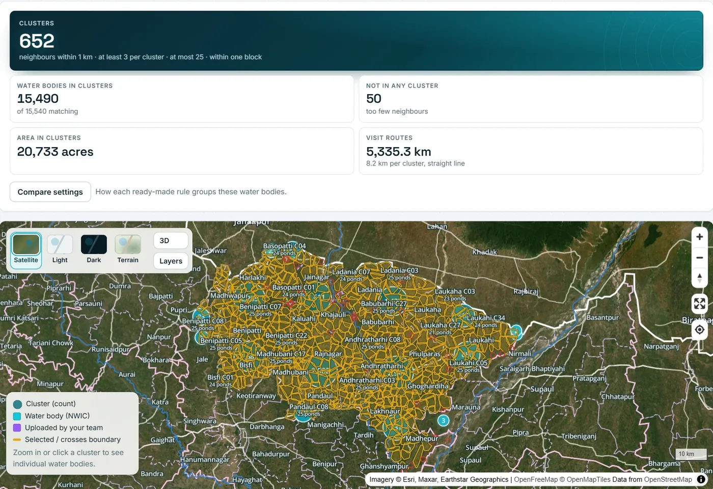
One platform from map to finished field work
Graminq connects the data, the plan and the people doing the work.
Every water body on one map
Browse 8.5 lakh+ mapped water bodies with their villages, blocks and districts. Filter by size, road access and survey status.
Learn moreClusters your teams can visit
Group nearby sites by distance and boundary into trips one team can cover, with the rules written down next to every plan.
Learn moreAssigned, routed, surveyed
Give each cluster to a field worker with a due date. They get the stops in visit order, a survey form and photos on their phone.
Learn moreProgress you can trust
See clusters done, sites surveyed and overdue work by field worker, block or village, and export it for your reports.
Learn moreHow cluster planning works
Four steps from a list of sites to work that is assigned, ordered and tracked.
Choose the sites
Pick an area and the criteria that matter: size, road access, not yet surveyed, villages with enough water bodies.
Group into clusters
Set how close sites must be, how small and large a cluster can be and which boundary it must stay inside. Preview it on the map.
Assign the field work
Save the plan, assign each cluster to a field worker and set a due date. Visits come in an efficient order.
Track to completion
Clusters move to in progress and completed as surveys come in. Download the plan for teams and funders.
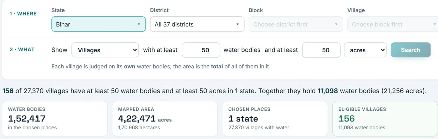
Find where to work, then plan it
Ask the map a question in one sentence and get the places that answer it.
- Show villages with at least a number of water bodies and at least an area.
- Filter by size, road distance and survey status.
- Send the matching places straight into cluster planning.
- Download the list for your team or your funder.

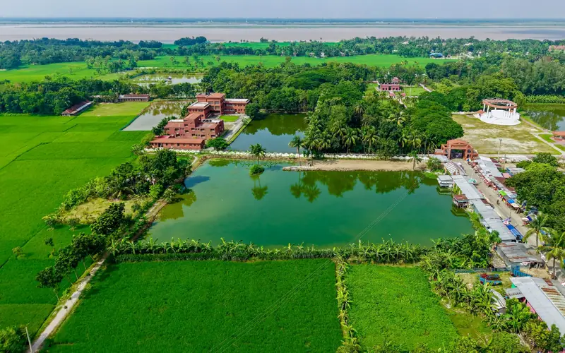
Every pond counts
From village ponds to large lakes, every water body on one map
8.5 lakh+ water bodies, from ponds under half a hectare to lakes over five hectares, each with its village, its size and its distance to a road.
Built for programmes that visit many sites
Start with water bodies. Use the same planning for any set of field sites.
Water body mapping
One shared map of every mapped water body, with the village, block and district it belongs to, its size, its distance to a road and whether it has been surveyed.
Read more
Field survey planning
Plan the trips first, then hand each field worker a cluster: the stops in visit order, a survey form and a way to mark each site done.
Read more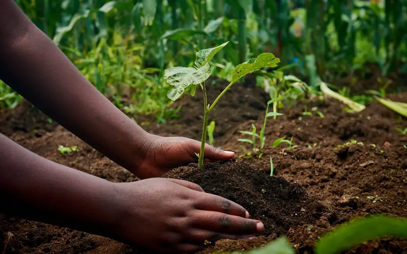
Plantation planning
Planting drives succeed when crews, sites and routes line up. Graminq plans the where and the who, and tracks that the work is done.
Read more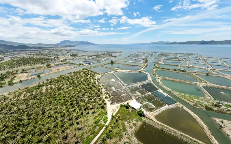
Fisheries and aquaculture
Find the water bodies worth a visit: large enough, reachable by road and not yet surveyed, then plan the verification trips.
Read more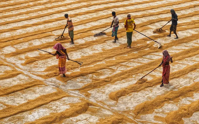
Programme and CSR monitoring
One view of what is planned, what is assigned and what is finished, from the first cluster to the last survey.
Read more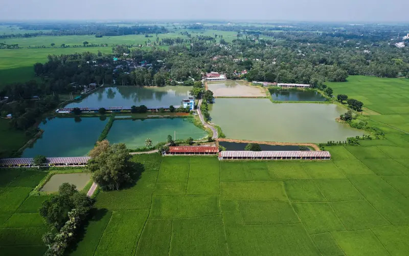
Water security planning
Decide where to invest first with evidence from the ground up: the places with the most water bodies and the most water.
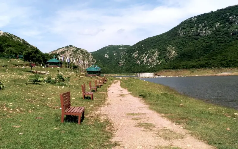
Read more8.5 lakh+ water bodies in 5 states
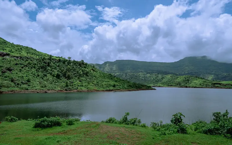
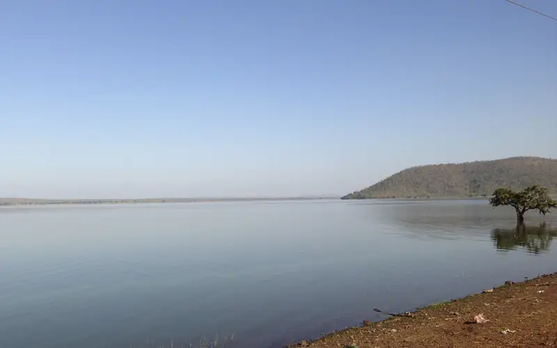
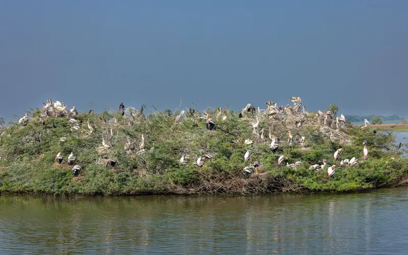
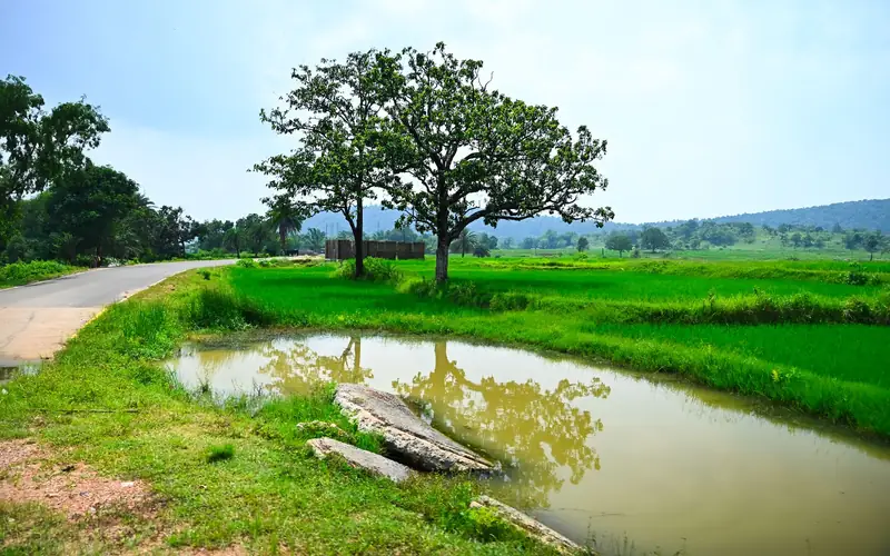
Open a state to see its size mix and the districts with the most water bodies.
Built to be explained and repeated
Planning that holds up when a partner, an auditor or a new colleague asks how a result was made.
Rules you can read
The distance, size and boundary rules behind every plan are listed with the plan, so a result can be explained and repeated.
Source data stays untouched
Clusters are planning objects. They never change the water body or boundary data they were made from.
Roles for every person
Administrators, analysts and field workers each see what they need. Field workers see only the clusters assigned to them.
Your files in, your files out
Bring KML, KMZ, GeoJSON, shapefile, CSV or Excel. Take plans out as Excel, CSV, GeoJSON, GPX or one self-contained plan file.
How Graminq compares
Where teams usually start, and what changes.
| Spreadsheets and hand-drawn maps | Desktop GIS software | General route-planning apps | Graminq | |
|---|---|---|---|---|
| Water bodies, boundaries and road distances already loaded | No | You load and prepare them | No | Yes |
| Clusters that stay inside a block or village | By hand | Possible with expertise | No | Built in, one setting |
| Grouping rules recorded with every plan | Rarely | Depends on the analyst | No | Yes |
| Assign clusters to field workers with due dates | By email or WhatsApp | No | Limited | Yes |
| Survey form with photos and progress tracking | Separate tool | Separate tool | No | Yes |
| GIS training needed for the planner | None | Yes | None | No, guided steps |
Frequently asked questions
What is Graminq?
Graminq is a web platform from Jaljeevika for cluster planning of field programmes in India. It groups nearby sites into trips one team can cover, orders the visits, assigns them to field workers and tracks surveys to completion. It starts with the water bodies of Bihar, Maharashtra, Telangana, Andhra Pradesh and West Bengal.
What is cluster planning?
Cluster planning groups sites that are close together into a work cluster, a set of sites that one team can survey or treat on one trip. The clusters respect rules you set: distance, size and the block or village they must stay inside.
Which states and how many water bodies are covered?
About 8.5 lakh+ (855,000+) water bodies in 5 states: Bihar, Maharashtra, Telangana, Andhra Pradesh and West Bengal. See the coverage pages for each state.
How are clusters formed?
You set the neighbour distance, the smallest and largest cluster, an optional width limit and the boundary a cluster must stay inside. Water bodies within reach of each other are grouped, large groups are split and the stops are put in visit order. See how it works.
Can I plan sites that are not water bodies, such as plantation sites?
Yes. Upload your own sites as KML, KMZ, GeoJSON, a zipped shapefile, CSV or Excel and plan them with the same rules. See plantation planning.
How do I get access?
Accounts are created by a Jaljeevika administrator. Sign in if you already have one.